ollin
2020-2022Ollin is a series of three mapping methods where specific areas of Mexico City were explored and recorded.
Ollin understands the action of routing as an axis of reflection, the city as a central organ and the image as a record of the interpersonal journey.
I.a 105 x 208 cm.
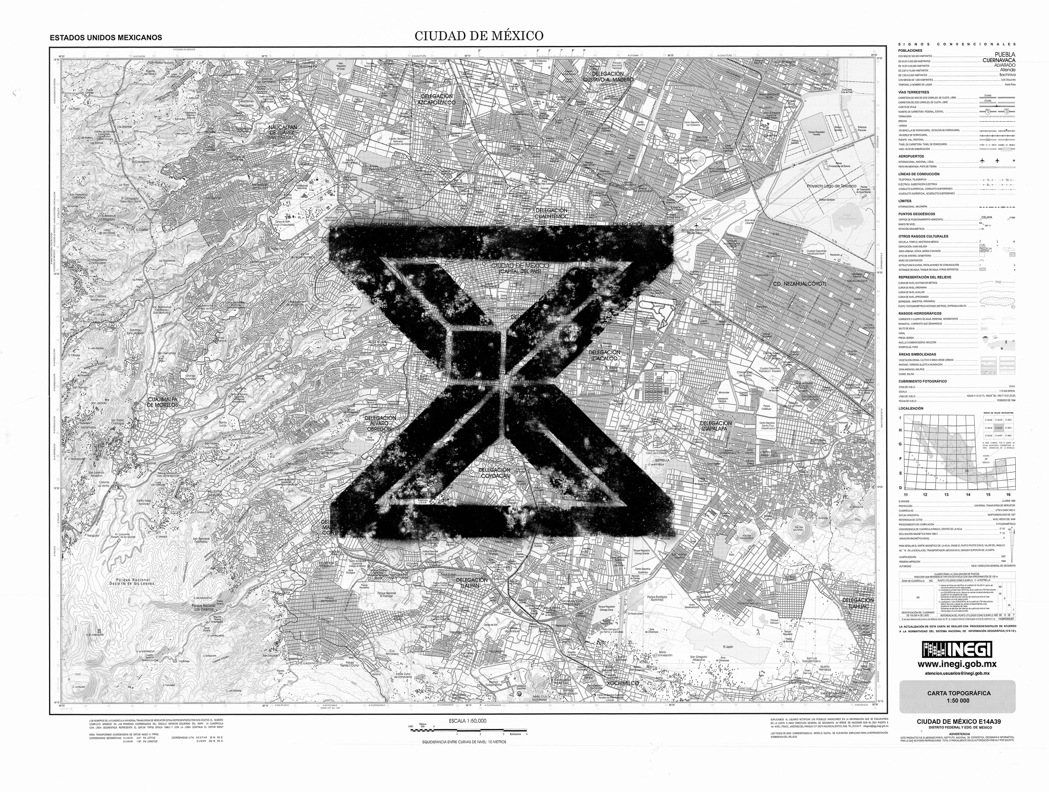
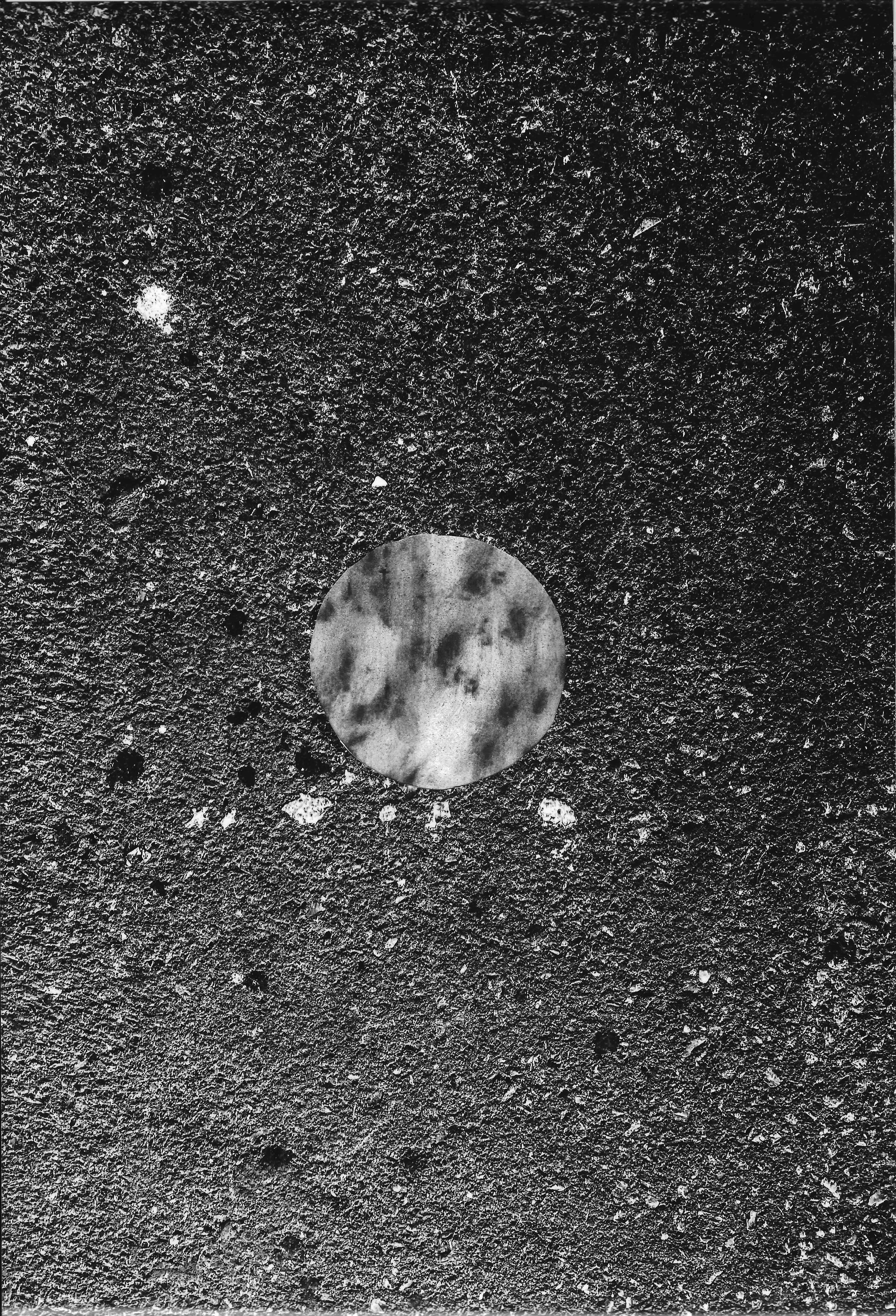
I. The first method routes a walk through the streets of the neighbourhood I grew up in. Composition I.b records textures of the concrete floor taken through frottage. Meanwhile, Composition I.a is a re-arrangement of the diverse graffiti letterings seen throughout the route, all superimposed into one another.
 1.
1.2.
![]()

1) I.b 105 x 208 cm.
2) sample display I.b
2) sample display I.b
II.a 90x120 cm.
II.b 90x120 cm.
II.b 90x120 cm.
III. The third method marks 5 points within the entirety of the city through concrete samples. It still considers the Ollin abstraction as a guiding skeleton. The 5 points correspond to the following coordinates:
a) 19.437294, -99.080051
b) 19.371452359026502, -99.15351217333117
c) 19.319565703930138, -99.21749081566043
d) 19.286920894215598, -99.12176258867524
f) 19.427627, -99.216087
 a.
a. b.
b.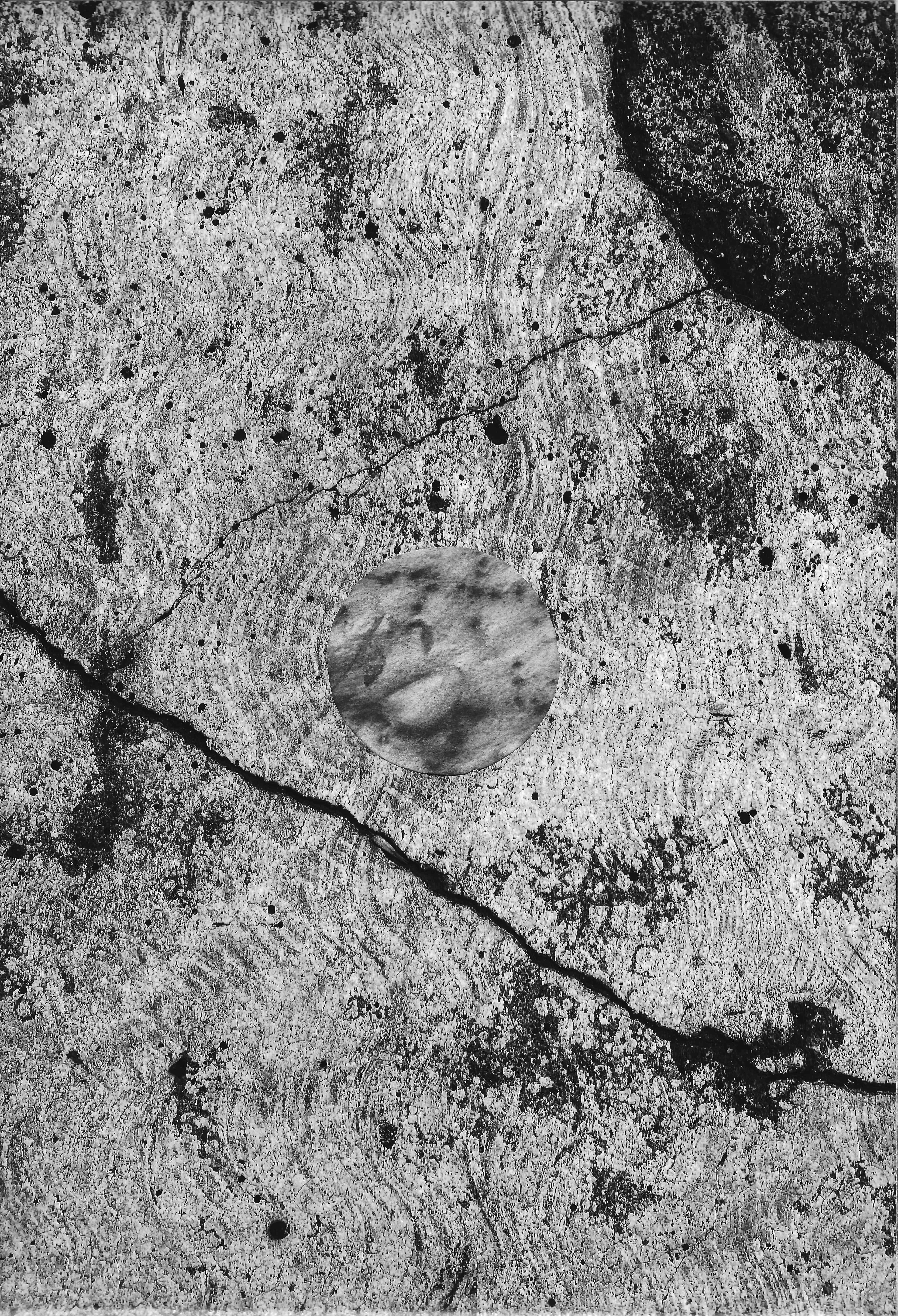
c.

d.
 f.
f.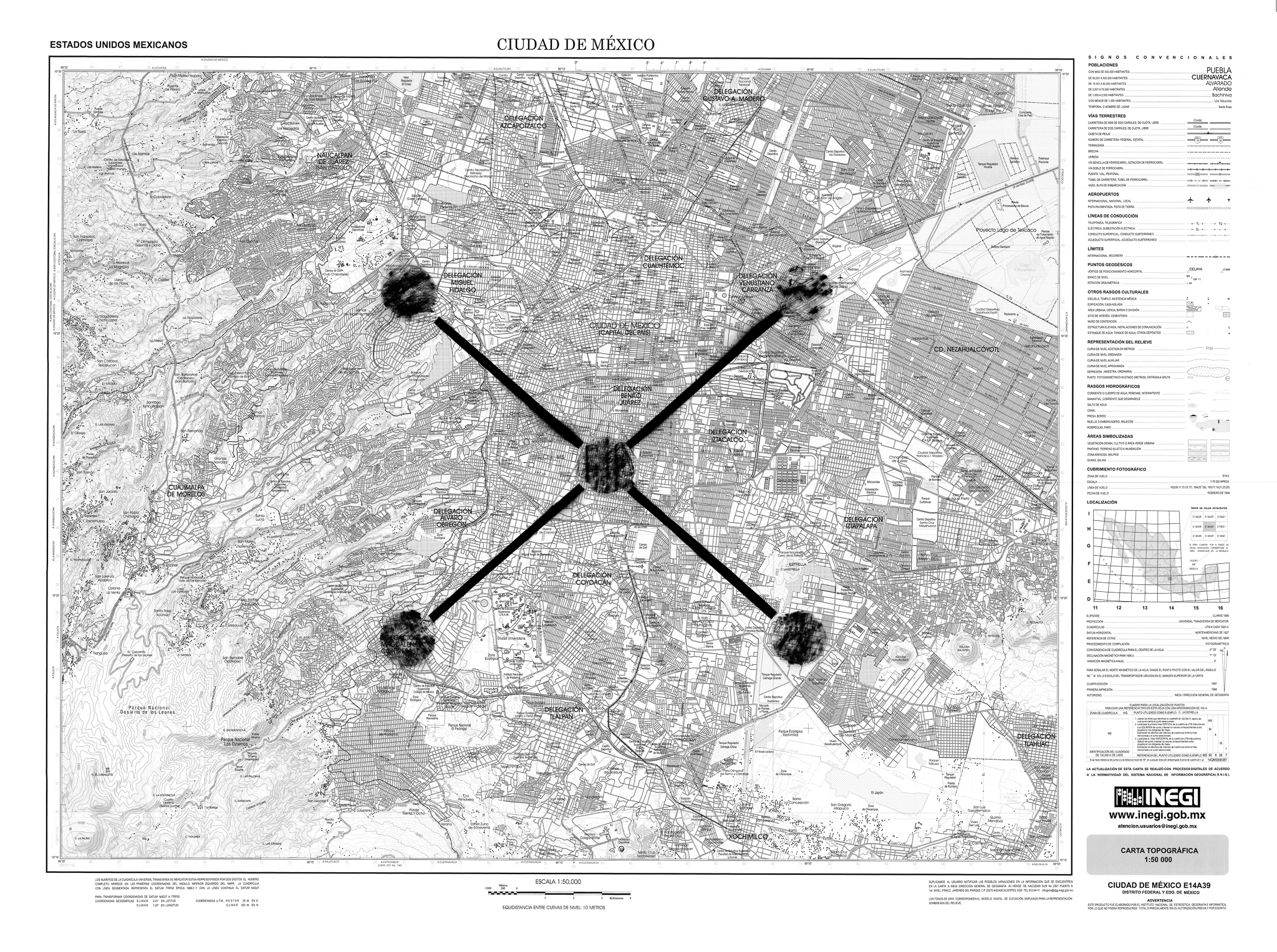
III.a 90x120 cm.